When he was New Hampshire’s governor in the 1890s, Frank West Rollins envisioned a ‘boulevard’ running north from the Massachusetts border.
In 1897, well before automobiles were commonplace, Frank West Rollins, who two years later became New Hampshire’s 47th governor, envisioned a “boulevard” running from the Massachusetts border northward, perhaps even through Franconia Notch.
That vision became reality with construction of Interstate 93, which began in 1961. By 1977, 123 miles were complete from Salem to Littleton, although a gap of eight miles remained, but it was closed with the opening of Franconia Notch Parkway in 1988.
I-93 bound New Hampshire to metropolitan Boston with immediate and profound effects. The state’s population grew 21.5% in the 1960s, 24.8% in the ‘70s, 20.5% in the ‘80s and 11.4% in the ‘90s, more than doubling from 606,921 to 1,235,786 by the turn of the century.
Population numbers nearly tripled in Rockingham County and more than doubled in Hillsborough County as the two counties flanking the southern stretch of the highway accounted for 60% of the increase. Today, the same two counties account for more than half the state’s population and employment while covering less than a fifth of its area.
In the four towns crossed by the first 20 miles of the highway — Salem, Windham, Derry and Londonderry — populations jumped fourfold between 1960 and 2000. Salem grew from 9,210 to 28,112, Windham from 1,317 to 10,709, Derry from 6,987 to 34,021 and Londonderry from 2,457 to 23,236. Today, Derry, Salem and Londonderry are among the 10 most populous municipalities in the state, and Windham ranks 19th.
Other towns along the I-93 corridor grew at a comparable pace. Population increased eightfold in Merrimack, fivefold in Bedford, fourfold in Hudson, threefold in Milford and Hooksett, and it doubled in Goffstown.
This year, the federal government added Rockingham and Strafford counties, home to 41% of the population of New Hampshire, to the Boston-Cambridge-Newton Metropolitan Statistical Area, or MSA, the tenth largest in the country with 4,875,390 people. MSA’s are defined and delineated by a “high degree of social and economic integration.”
The highway has left its mark all along its length by placing the pleasures of the Lakes Region, White Mountains and Great North Woods within easy reach of the metropolitan populations of the Northeast. Ski resorts have thrived in the winter, while the high country became a year-round destination for hikers, climbers, campers and leaf peepers.
New Hampshire has long been a haven for seasonal homes, which represent a tenth of all housing units in the state, a share topped only by Maine and Vermont.
Since construction of I-93 began, the number of seasonal homes counted by the U.S. Census has almost doubled, from 33,882 in 1960 to 66,103 in 2015, with 70% of them in the four northern counties of Belknap, Grafton, Carroll and Coos. The highest concentrations of seasonal homes are in the Lakes Region, through which the highway passes.
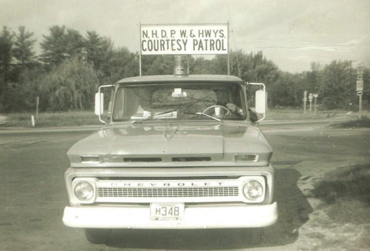
An early NH DOT vehicle.